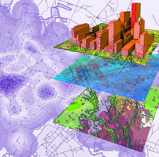
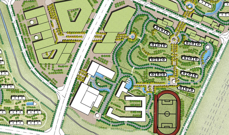
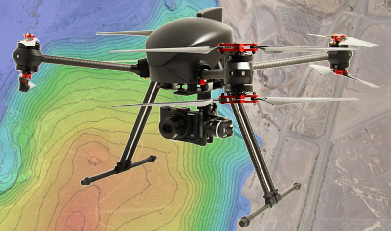
3D Geo Analytics
Engaged by a European customer to create a 3D Geo Analytics system using Aerial photographs via Photogrammetric technique.
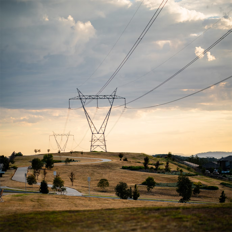
Power Line Classification
Extract and classify the power line features from the Point cloud based on European standard National grid.

Utilities Hi-Tech
To enable the tower companies play a crucial role in the emerging 5G market for expanding their existing capacity using drone data.
Transmission and Distribution Network
The case study includes the processing of transmission power line and distribution network along with danger vegetation identification and vegetation encroachment with respect to power lines.

Fiber Network Designing
Underground networks especially need high precision as any fault left anywhere can lead to significant cost and risk in uncovering and correction later. Thus, network operators rely on experts to carry out the designing task with utmost precision.
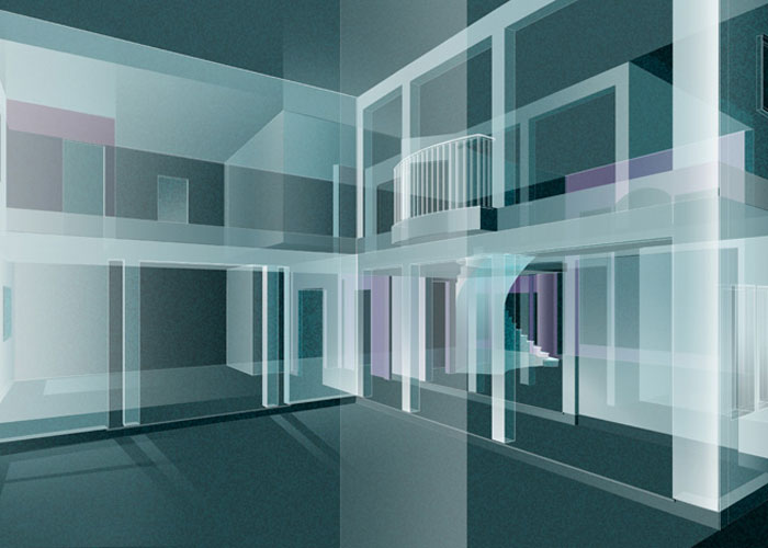
Three Dimensional Restitution
The customer is looking for a Geo Spatial Service Provider to carryout the 3D Restitution from the Stereo Pairs using photogrammetric data capturing methods. The output is Microstation DGN format.

Canal Modelling
The customer is looking for a Geo Spatial Service Provider to carry out the mapping of canals in order to create a hydrology model of canals.
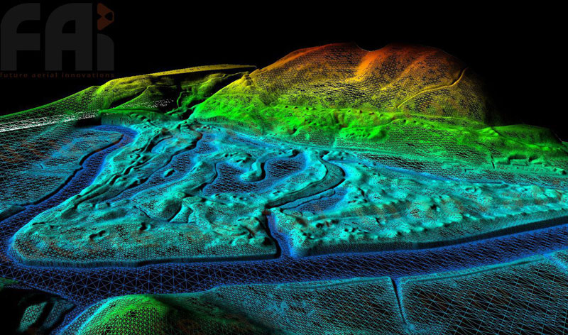
Lidar Data Processing
The customer is looking for a Geo Spatial Service Provider to process LIDAR data in LAS format and create the DTM free of vegetation, buildings and vehicles etc. The output is in ASCII ESRI grid format.
Planimetric Map Creation
The customer is looking for a Geo Spatial Service Provider to create the GIS with the large scale mapping from the aerial photographs.
Orthophoto Production
The customer is looking for a Geo Spatial Service Provider to carry out the orthophotos production from the ADS40 images. The output is in tiff format.
Road Network Creation
The customer is looking for a Geo Spatial Service Provider to carryout the Road Netowrk Creation from Satellite images into an ESRI shape file. The Road data has to be directionalised along the direction of driving.
Change Signaling
The customer is looking for a Geo Spatial Service Provider to carryout the mutation signalling (signalling the updation at a location comparing the old large scale topographic maps with the latest aerial images) for urban areas. The signalling is done in ESRI shape file.

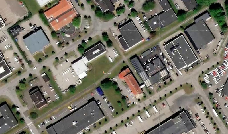
Building Map Production
The customer is looking for a Geo Spatial Service Provider to carry out the mapping of buildings from the Aerial photographs of DMC camera.
Photogrammetry – Project and Technology
This project involves creation of an inventory of public and private infrastructure of the Municipalities from Aerial Images via photogrammetric methods. After making the spatial inventory, the data is converted into an ESRI geodatabase for further processing.
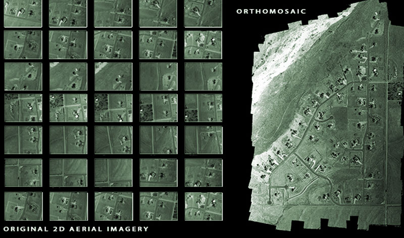
Orthomosaic Creation
The objective of the project is to to create an Orthorectified Mosaic from the Aerial Photographs.
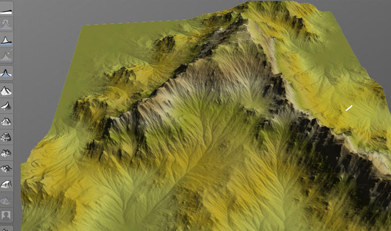
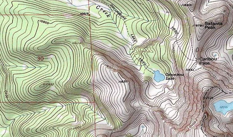
Terrain Creation
The objective of the project is creation of terrain model from Cartosat Images. The output is in Rolta geomatica digital elevation model (PIX).
Seamline Creation
The objective of the project is creation of seam line for Ortho mosaic project. The output is in PCI geomatica prj format.