LiDAR Processing
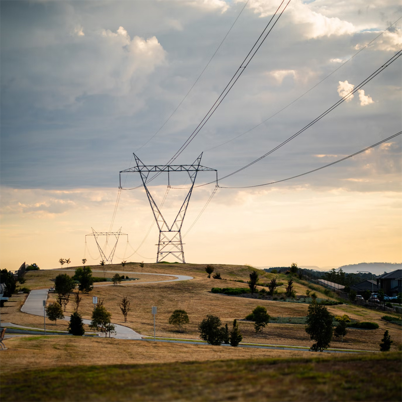
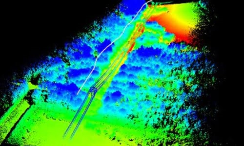
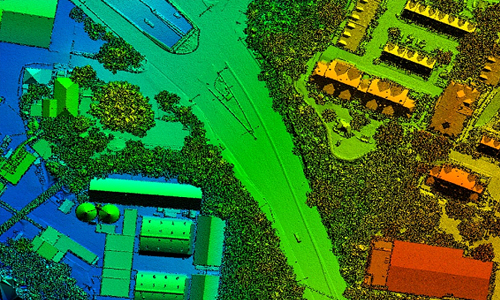
LiDAR (Terrestrial or Air Borne) data provides the point clouds that contain highest level of details of any object . LiDAR data contains highly accurate geo location and height above the ground—features such as Buildings, vegetation, power lines,poles, towers and roads are represented in 3D.
PixelO offers LiDAR data classification, mapping and feature extraction services using AI/ML based training models. With proven methodologies and deep expertise in working with high-resolution imagery and LiDAR datasets, PixelO enable customers to minimize the need for field visits.
PixelO LiDAR services to multiple industries such as transportation, utilities, telecommunications, mining, and engineering firms.
LiDAR Services
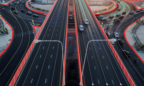
High Definition Maps
Data Classification
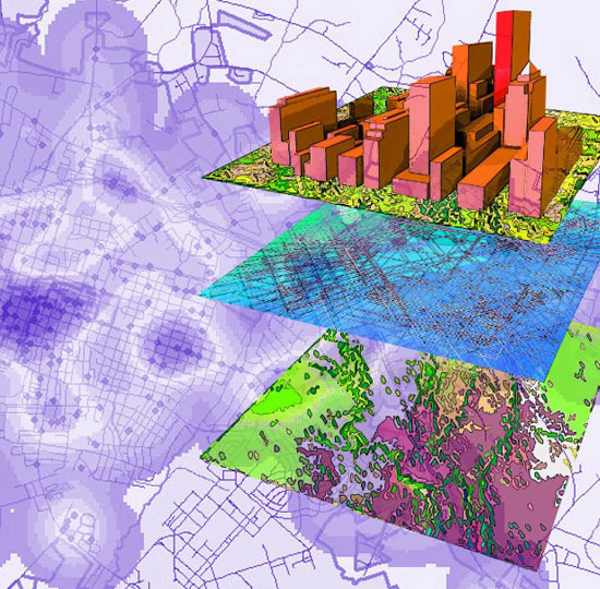
Digital Twins