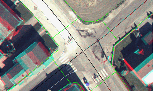
Photogrammetry
Through innovative AI/ML based aerial digital data capturing solutions, Pixelo extracts accurate digital vector data from a host of sources, such as Aerial Photography, and Satellite Imagery. We offer a complete range of photogrammetric services for Topographic Mapping, Utilities Mapping, Road and Highway Planning, Cadastral Mapping, City Modeling, etc. Our services include consulting, project planning, software application development, image processing, data conversion and integration.
Pixelo has had extensive success in photogrammetric project planning and execution. We develop and use AI/ML based training models to extract data from the Satellite and Aerial Imagery. Our team is committed to develop and invest in emerging technologies, keeping up to date with advances in Mapping solutions and services at all times. Our services can be customized for project specific requirements, and we also execute large scale projects as contractors, from inception to completion.
Photogrammetry Services

Aerial Triangulation
Stereo Data Collection
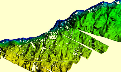
Terrain Modelling and 3D Visualisation
Related Case Studies
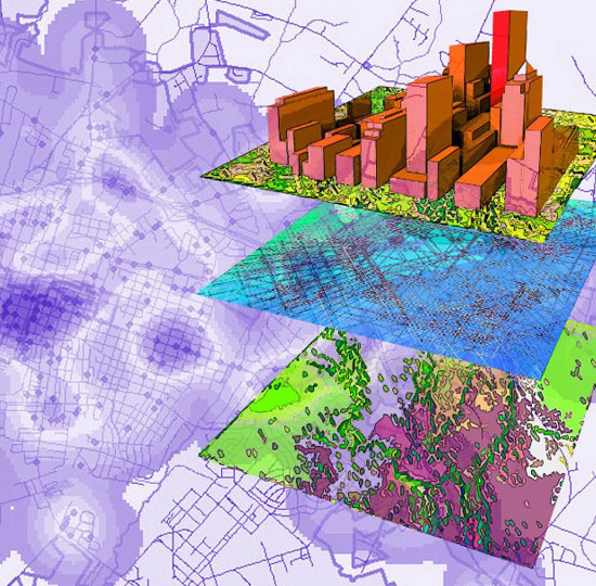
3D Geo Analytics
Engaged by a European customer to create a 3D Geo Analytics system using Aerial photographs via Photogrammetric technique.
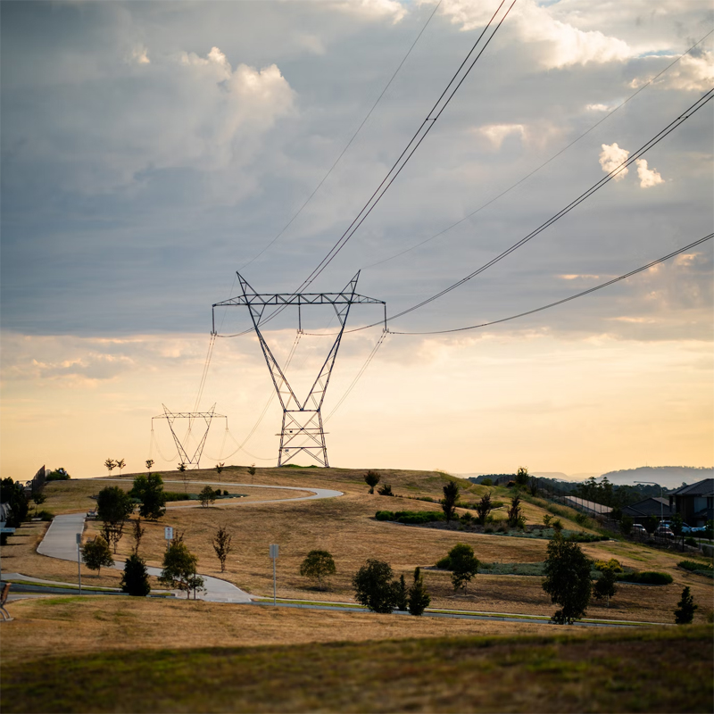
Power Line Classification
Extract and classify the power line features from the Point cloud based on European standard National grid.

Utilities Hi-Tech
To enable the tower companies play a crucial role in the emerging 5G market for expanding their existing capacity using drone data.