UAV/Drone Services
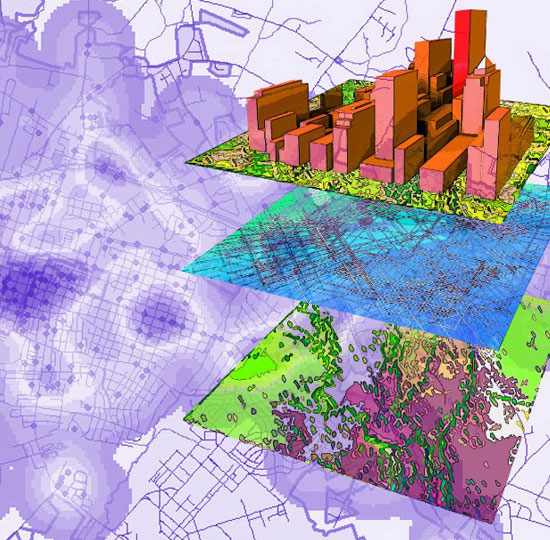
Pixelo provides end-to-end sector specific drone solutions that help enterprises and governments adopt a sustainable approach to managing and evolving their operations. Our solution encompasses superior survey grade drones, trained operators, easy-to-use ground control and flight planning software, and an intelligent, modular, cloud platform for data processing and analysis.
- End to End Drone Solutions Powering Business Intelligence
- Faster and Accurate Data Generation using AI based algorithms
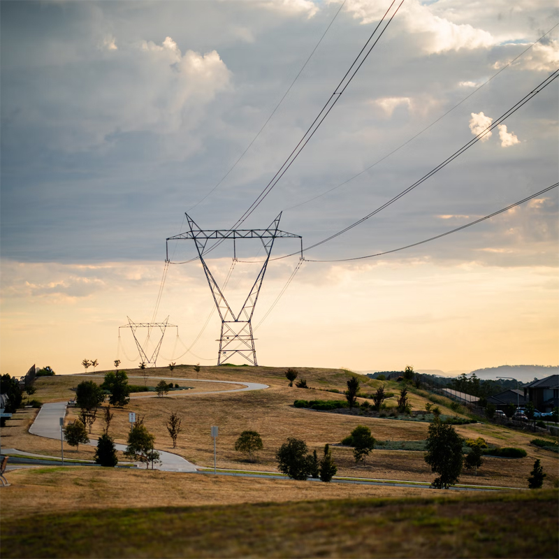
Tower – Digital Twin
- Critical insights for selecting new sites during pre-construction phase
- 360-degree image coverage of telecom towers
- 360-degree image coverage of telecom towers
- Highly accurate 3D reconstruction of telecom tower assets
- Transparency in the state of maintenance for infrastructure
- Cutting inspection times from hours to minutes
- Identification & high-precision measurement of telecom tower assets
- Autonomously survey assets within minutes
- Easy accessibility to remote towers
- Increased staff safety
Services for towers
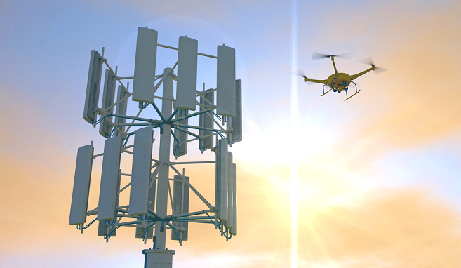
- Site and construction planning
- Audit site inventory
- Inspect equipment with visual analytics
- Tower lean inspection
- Tower asset inspection
- Network planning and line of sight analysis
- Identifying critical structural issues on towers
- Assess new infrastructure sites
- Antenna position and orientation measurement
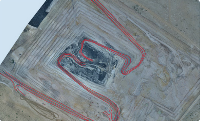
Stockpile volume estimation
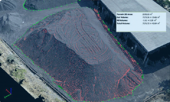
- Very quick stock surveys
- Stockpile surfaces are digitized with millions of data points
- Combined with PPK technology, generate most accurate volume measurements
- Traditional survey techniques like total stations fail to capture small crests and troughs of stockpiles, thus offsetting the final volume estimated by about 10-30%
Mine planning
- Plan efficient and safer mine operations
- Quickly chalk out haul roads, pit, and mine reclamation plans
- Meet planning compliances with ease